-
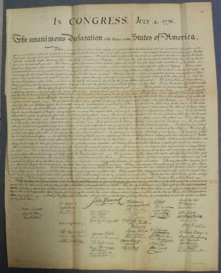
United States Declaration Of Independence 1850 Lepelle Antique Plate
-

1860 Mitchell Hand Colored Map Colorado, Nebraska & Kansas - Civil War Era
-
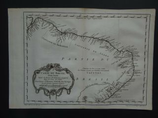
1757 Bellin Atlas Map Brazil - Carte Du Bresil - South America
-

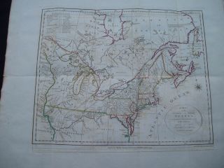
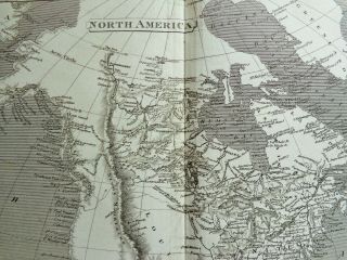
18th Century French Map Of North America
-

Las Vegas Nevada Vintage 1967 Us Geological Survey Quadrangle Map 4 Panels
-
![Rare Antique 1845 Maps United States Exploring Expedition Book Antartica Hawaii]()

Rare Antique 1845 Maps United States Exploring Expedition Book Antartica Hawaii
-
![Extremely Rare Photo Of Hong Kong, Showing Central Victoria Township 1857]()
Extremely Rare Photo Of Hong Kong, Showing Central Victoria Township 1857
-
![Vintage 1926 Map Hollywood From The Best Surveys Of The Time]()

Vintage 1926 Map Hollywood From The Best Surveys Of The Time
-
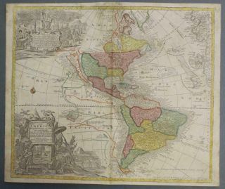
![American Continent (western Hemisphere) 1747 Bowen Antique Copper Engraved Map]()

American Continent (western Hemisphere) 1747 Bowen Antique Copper Engraved Map
-
![Globe Semi Precious Stone Very Heavy Bought In Mauritius 20 Years Ago]()
Globe Semi Precious Stone Very Heavy Bought In Mauritius 20 Years Ago
-
![Gulf Coast Florida Texas United States 1705 De Fer Unusual Antique Engraved Map]()

Gulf Coast Florida Texas United States 1705 De Fer Unusual Antique Engraved Map
-
![California As Island United States 1700 De Fer Unusual First Edition Antique Map]()

California As Island United States 1700 De Fer Unusual First Edition Antique Map
-
![1864 Us Coast Survey Chart Map Bristol Harbor Rhode Island Ad Bache 20 X 14 1/2]()
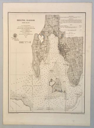
1864 Us Coast Survey Chart Map Bristol Harbor Rhode Island Ad Bache 20 X 14 1/2
-
![French Armillary Sphere Zodiac Orrery Solar System Space Astrology Astronomy]()
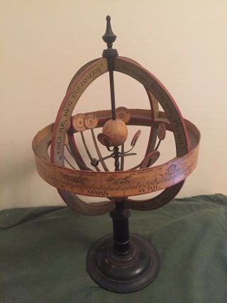
French Armillary Sphere Zodiac Orrery Solar System Space Astrology Astronomy
-
![1614/34, Xl - Blaeu/hessel Gerrits - Russia, Empire, Moscow, Novgorod, Samara, Kazan, Ufa]()
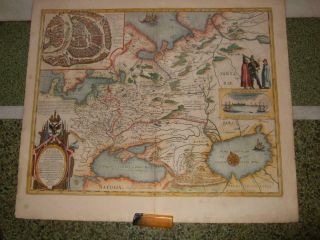
1614/34, Xl - Blaeu/hessel Gerrits - Russia, Empire, Moscow, Novgorod, Samara, Kazan, Ufa
-
![Vintage City Street Map Of Toronto Union Station Steamboat Landings Hotels]()
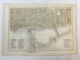
Vintage City Street Map Of Toronto Union Station Steamboat Landings Hotels
-
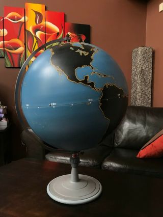
![30” Antique Terrestrial Globe Manufactured By Weber Costello Co.]()
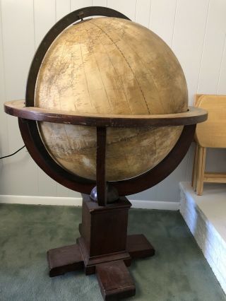
30” Antique Terrestrial Globe Manufactured By Weber Costello Co.
-
![Huge Vintage Military Aviation World Globe Denoyer Geppert Industrial - Antique]()
Huge Vintage Military Aviation World Globe Denoyer Geppert Industrial - Antique
-
![Flamsteed Astronomy Celestial Map Capricorn Aquarius - 1776]()
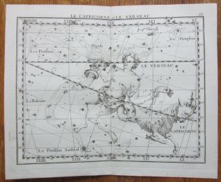
Flamsteed Astronomy Celestial Map Capricorn Aquarius - 1776
-
![Hungary & Romania 1579 (1584) Ortelius Unusual Antique Copper Engraved Map]()

Hungary & Romania 1579 (1584) Ortelius Unusual Antique Copper Engraved Map
-
![Saigon Map 1878 Vietnam Cochinchina Indochina Asia Plan Cochinchine Indochine]()
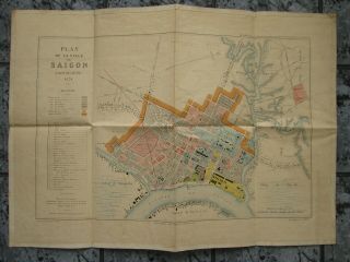
Saigon Map 1878 Vietnam Cochinchina Indochina Asia Plan Cochinchine Indochine
-
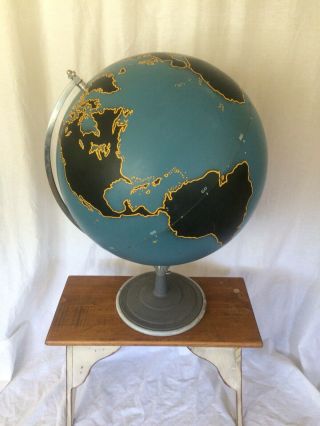
![Denoyer Geppert 1940]()
Denoyer Geppert 1940 ' S Vintage Chalkboard Globe -
-
![Vintage Exceptional Trippensee Planetarium Complete, All.]()
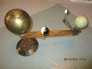
Vintage Exceptional Trippensee Planetarium Complete, All.
-
![Brussels Bruxelles Belfium 1777 De Ferraris & Dupuis Large Antique Map Sheet Xxi]()

Brussels Bruxelles Belfium 1777 De Ferraris & Dupuis Large Antique Map Sheet Xxi
-
![Eastern United States & Canada 1702 De Fer Unusual Antique Copper Engraved Map]()

Eastern United States & Canada 1702 De Fer Unusual Antique Copper Engraved Map
-
![Vintage Cram’s Universal Terrestrial Globe - 12 Inch]()
Vintage Cram’s Universal Terrestrial Globe - 12 Inch
-
![Israel Holy Land Middle East Cyprus Mediterranean Sea 1730 Nicholls Antique Map]()
Israel Holy Land Middle East Cyprus Mediterranean Sea 1730 Nicholls Antique Map
-
![1616 Atlas Map Of Iceland.]()

1616 Atlas Map Of Iceland.
-
![Kazan Russia 1767 Le Clerc/lespinasse Antique Copper Engraved City View]()

Kazan Russia 1767 Le Clerc/lespinasse Antique Copper Engraved City View
-
![Mexico Florida Gulf Coast 1702 De Fer Unusual Antique Copper Engraved Map]()
Mexico Florida Gulf Coast 1702 De Fer Unusual Antique Copper Engraved Map
-
![American Continent California As An Island 1700 De Fer Unusual Antique Map]()
American Continent California As An Island 1700 De Fer Unusual Antique Map
-
![1899 Stanford, Folding Map Of Norwich, Norfolk, Arthur Collins, Jarrold & Sons,]()

1899 Stanford, Folding Map Of Norwich, Norfolk, Arthur Collins, Jarrold & Sons,
-
![1857 Colton]()
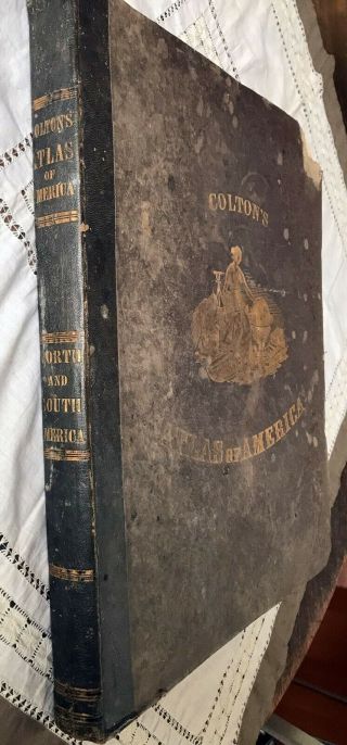
1857 Colton ' S Atlas Of America With Hand Coloured Plates Rare
-
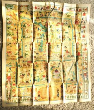
![Vintage Map Of West Lake Hangzhou Hangchow China]()
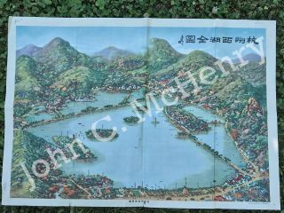
Vintage Map Of West Lake Hangzhou Hangchow China
-
![Antique 1880’s A. H. Andrews 6” Globe With Stand]()
Antique 1880’s A. H. Andrews 6” Globe With Stand
-
![African Continent 1630ca Blaeu Scarce Antique Copper Engraved Map French Edition]()
African Continent 1630ca Blaeu Scarce Antique Copper Engraved Map French Edition
-
![1763 Entick Map Colonial United States Canada Louisiana British Colonies Rare]()
1763 Entick Map Colonial United States Canada Louisiana British Colonies Rare
-
![Germany Figural Spelter Cherub Terrestrial World Globe By Ernst Schotte, Ca 1890]()
Germany Figural Spelter Cherub Terrestrial World Globe By Ernst Schotte, Ca 1890
-
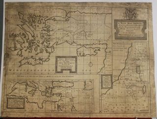
![1794 W. Faden Large Rare Antique Map Nw America. Alaska, Canada, Bering Straits]()
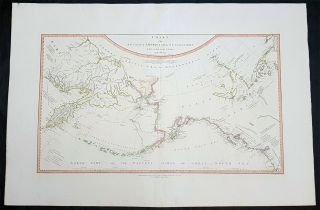
1794 W. Faden Large Rare Antique Map Nw America. Alaska, Canada, Bering Straits
-
![Rare 1775 Antique Map Of A Plan Of The Town & Chart Of The Harbour Of Boston]()
Rare 1775 Antique Map Of A Plan Of The Town & Chart Of The Harbour Of Boston
-
![Map 1885 Vietnam French Indochina China War Tonkin Hanoi Tuyen Quan Bac - Ninh]()
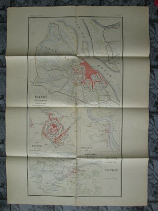
Map 1885 Vietnam French Indochina China War Tonkin Hanoi Tuyen Quan Bac - Ninh
-
![1948 Vintage Linen Colour Map Geological Survey Ten Mile Of Great Britain]()

1948 Vintage Linen Colour Map Geological Survey Ten Mile Of Great Britain
-
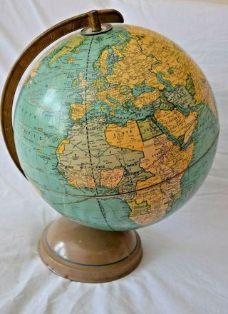
![Antique Gilman Joslin Terrestrial Globe, 16 Inches In Diameter]()
Antique Gilman Joslin Terrestrial Globe, 16 Inches In Diameter
-
![1944 Map Flying Bombs Sussex Ww2 Newspaper Military Kent Courier German V1 V2]()

1944 Map Flying Bombs Sussex Ww2 Newspaper Military Kent Courier German V1 V2
-
![Vintage Cast Iron Globe Garden Candle Lantern.]()
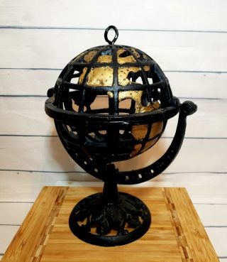
Vintage Cast Iron Globe Garden Candle Lantern.
-
![Dated 1638 Vellum Map Of Icklesham Sussex Showing Land Uses Owners Etc]()

Dated 1638 Vellum Map Of Icklesham Sussex Showing Land Uses Owners Etc
-
![John Speed Map C1627 Invasions England & Ireland Engraved Armada Civil Wars]()
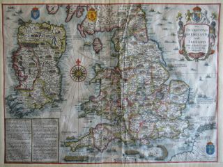
John Speed Map C1627 Invasions England & Ireland Engraved Armada Civil Wars
-
![Vintage Zodiac World Globe Lamp Made In Italy]()
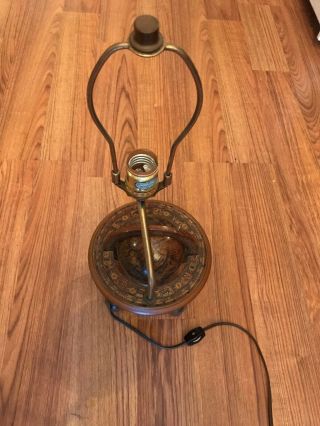
Vintage Zodiac World Globe Lamp Made In Italy
-
![Flamsteed Astronomy Celestial Map Virgo - 1776]()
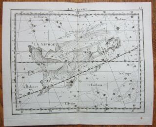
Flamsteed Astronomy Celestial Map Virgo - 1776
-
![1865 Map Topography & Hydrology Of The City Of York Egbert Viele - Very Rare]()
1865 Map Topography & Hydrology Of The City Of York Egbert Viele - Very Rare
-
![Singapore 1964 Ordnace Survey Map]()
Singapore 1964 Ordnace Survey Map
-
![Stunning John Speed Map Of Hampshire, 1710 - 1743 With Hand Colouring.]()
Stunning John Speed Map Of Hampshire, 1710 - 1743 With Hand Colouring.
-
![Map Of The Thirteen Colonies By Matthieu Albert Lotter Circa 1776 Engraving]()
Map Of The Thirteen Colonies By Matthieu Albert Lotter Circa 1776 Engraving
-
![Vintage 1942 Battle Of Singapore Island Japanese Strategic Map Malayan Campaign]()
Vintage 1942 Battle Of Singapore Island Japanese Strategic Map Malayan Campaign
-
![Berta & Elmer Hader 1932 Pictorial Character State Map Of Texas 9 X 12]()
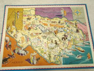
Berta & Elmer Hader 1932 Pictorial Character State Map Of Texas 9 X 12
-
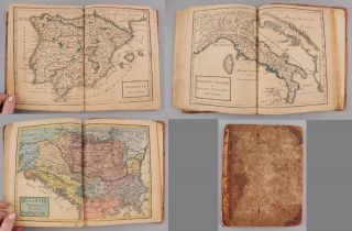
![1825 Atlas Of Ancient And Modern Geography - Maps By Samuel Butler]()
1825 Atlas Of Ancient And Modern Geography - Maps By Samuel Butler
-
![Vintage Pocket Map: 1839 Mitchell’s Map Of Ohio, Indiana, Illinois, & Michigan]()
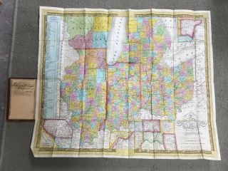
Vintage Pocket Map: 1839 Mitchell’s Map Of Ohio, Indiana, Illinois, & Michigan
-
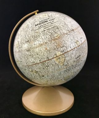
![Replogle 6 " - Lunar/moon Globe - Metal - 1969 - Apollo 2 And All Landing Sites/craters]()
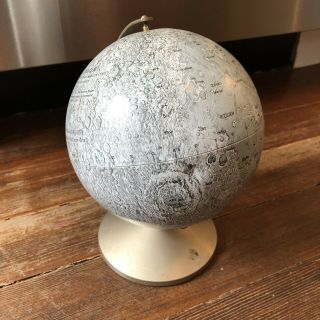
Replogle 6 " - Lunar/moon Globe - Metal - 1969 - Apollo 2 And All Landing Sites/craters
-
![1936 Frank Dorn Map Of Beijing Or Peking, China]()
1936 Frank Dorn Map Of Beijing Or Peking, China
-
![Cluverius - Greta, Cyprus Rhodes Copper - Engraved Map 1701]()
Cluverius - Greta, Cyprus Rhodes Copper - Engraved Map 1701
-
![North America California As An Island By John Senex C1740 Antique Map]()
North America California As An Island By John Senex C1740 Antique Map
-
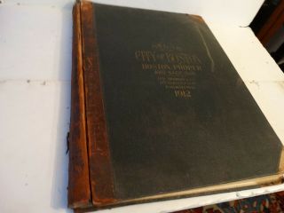
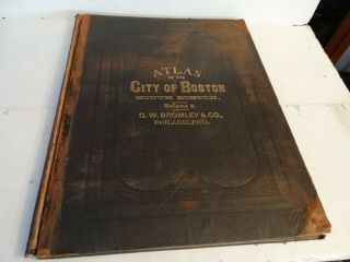
![Rare Antique G. W. Bromley & Co 1912 City Of Boston Mass Atlas Proper 36 Plates]()
Rare Antique G. W. Bromley & Co 1912 City Of Boston Mass Atlas Proper 36 Plates
-
![Authentic The Sir Francis Drake World Map Gold And Silver]()
Authentic The Sir Francis Drake World Map Gold And Silver
-
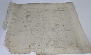
![1860: Manuscript Map Of Hms Vixen Chile / Peru]()
1860: Manuscript Map Of Hms Vixen Chile / Peru
-
![1876 Atlas Of The State Of Indiana Dozens Of Maps]()
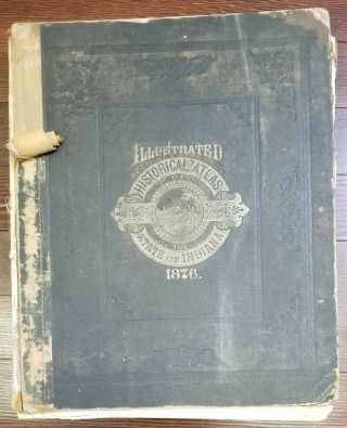
1876 Atlas Of The State Of Indiana Dozens Of Maps
-
![1646, Merian, L - Russia, Empire, S. Petersburg, Moscow, Novgorod, Samara, Tyumen, Kazan, Ufa]()
1646, Merian, L - Russia, Empire, S. Petersburg, Moscow, Novgorod, Samara, Tyumen, Kazan, Ufa
-
![1747 Bellin & Schley - Rare Map: Australia, Sydney Guinea Oceania Zealand]()
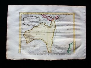
1747 Bellin & Schley - Rare Map: Australia, Sydney Guinea Oceania Zealand
-
![Semi Precious Stoned Globe Of The World Mounted On A Brass Stand With Compass]()
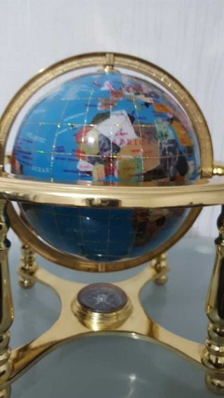
Semi Precious Stoned Globe Of The World Mounted On A Brass Stand With Compass
-
![1768 Blair Map - Sicily Italy Malta - Very Rare]()
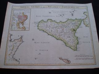
1768 Blair Map - Sicily Italy Malta - Very Rare
-
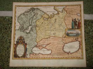
![Poland 1739 Antique Map Lithuania Latvia Russia Belarus Baltics Homann]()
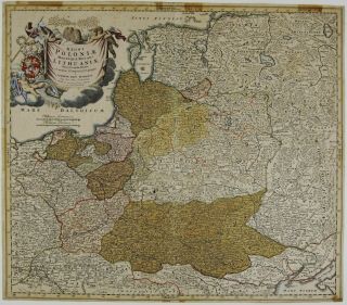
Poland 1739 Antique Map Lithuania Latvia Russia Belarus Baltics Homann
-
![Antique 1871 Eldridge]()
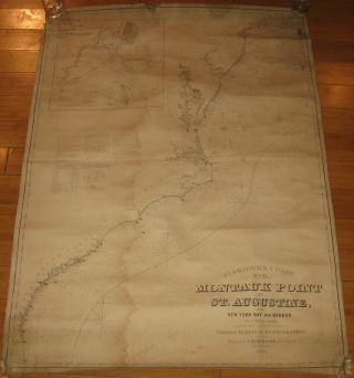
Antique 1871 Eldridge ' S ' Montauk To St Augustine W York Bay ' Nautical Map
-
![Vintage Crams Imperial 12 " World Globe With Goldtone Metal Base]()
Vintage Crams Imperial 12 " World Globe With Goldtone Metal Base
-
![Persian Gulf Arabia Qatar Iran 1776 D]()
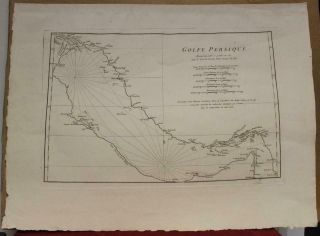
Persian Gulf Arabia Qatar Iran 1776 D ' Anville Antique Copper Engraved Sea Chart
-
![Antique " Mitchell]()
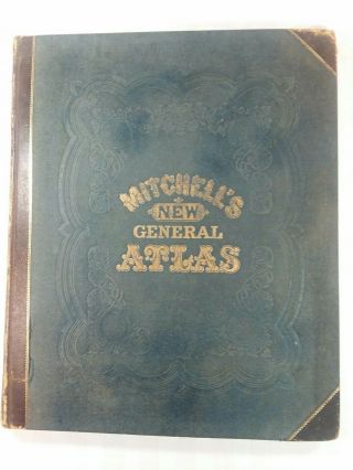
Antique " Mitchell ' S General Atlas " 1874 Edition
-
![Stunning Early Finely Embroidered Map Of England & Wales 1795 Extremely Rare]()
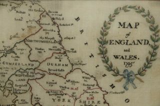
Stunning Early Finely Embroidered Map Of England & Wales 1795 Extremely Rare
-
![Russia Lake Ladoga 1745 Academy Sciences St Petersburg Rare Antique Cyrillic Map]()
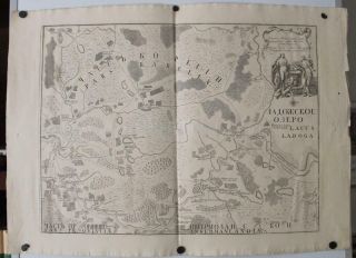
Russia Lake Ladoga 1745 Academy Sciences St Petersburg Rare Antique Cyrillic Map
-
![Mitchell]()
Mitchell ' S General Atlas. 1861. Complete. Rebound. Very
-
![1936 Chinese Pictorial Map Of Peking By Frank Dorn]()
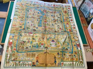
1936 Chinese Pictorial Map Of Peking By Frank Dorn
-
![Vintage C1910 " Betts]()
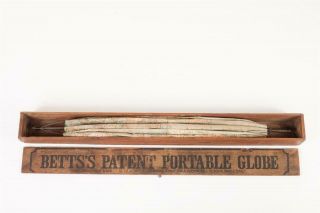
Vintage C1910 " Betts ' S Patent Portable Globe "
-
![Rare Antique 1858 Henry Walling Franklin County Massachusetts Wall Map]()
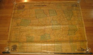
Rare Antique 1858 Henry Walling Franklin County Massachusetts Wall Map
-
![Rare Antique G. W. Bromley & Co 1891 City Of South Boston Mass Atlas 33 Plates]()
Rare Antique G. W. Bromley & Co 1891 City Of South Boston Mass Atlas 33 Plates
-
![Vtg Rare Starship Earth Ii Celestial Globe Spherical Concepts Artline Astronomy]()
Vtg Rare Starship Earth Ii Celestial Globe Spherical Concepts Artline Astronomy
-
![1842 Flemming Map Republic Of Texas United States Southwest Very Rare]()
1842 Flemming Map Republic Of Texas United States Southwest Very Rare
-
![Rare Circa 1700 A Map Of North America According To The Newest Observation]()
Rare Circa 1700 A Map Of North America According To The Newest Observation
-
![]()
' 100 Years In Region Of Great Lakes ' Oglebay Norton Ships Pictorial Map
-
![1792 Stockdale Morse Map United States Western North West Territory North States]()
1792 Stockdale Morse Map United States Western North West Territory North States
-
![Vintage Nystrom Pull Down Map Western Colonialism In Asia In 1954 12128a]()
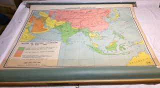
Vintage Nystrom Pull Down Map Western Colonialism In Asia In 1954 12128a
-
![Map Of The City Of Singapore Dated 1956 With Hocks - Alcis Watches Advert]()
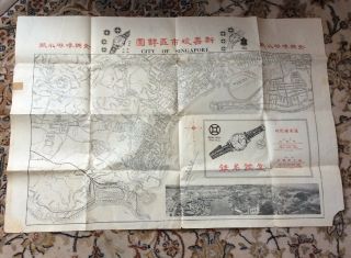
Map Of The City Of Singapore Dated 1956 With Hocks - Alcis Watches Advert
-
![A Rare And Of The 1601 Theodore De Bry Map Of Nova Zembla.]()
A Rare And Of The 1601 Theodore De Bry Map Of Nova Zembla.
-
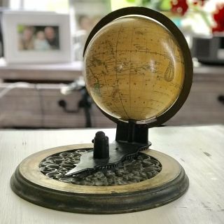
![The Earth & It’s Habitants Miniature Globe]()
The Earth & It’s Habitants Miniature Globe
-
![1879 Very Large, Rare Map Of The Adirondacks]()
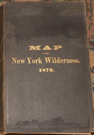
1879 Very Large, Rare Map Of The Adirondacks
-
![1889 Charles Booth, Descriptive Map Of London Poverty, Northern Sheets X2, Key]()
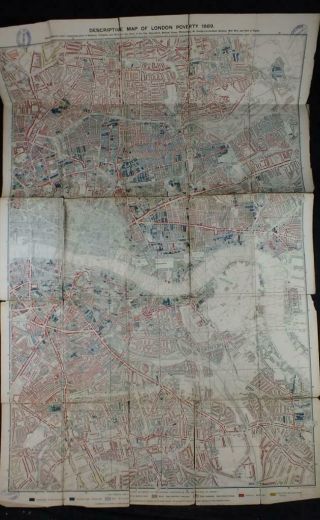
1889 Charles Booth, Descriptive Map Of London Poverty, Northern Sheets X2, Key
-
![1893 Atlas Map Plat Turner County South Dakota Rowley & Peterson Antique Vtg.]()
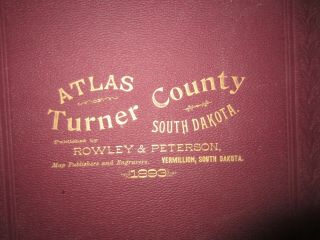
1893 Atlas Map Plat Turner County South Dakota Rowley & Peterson Antique Vtg.
-
![Vtg Rare Starship Earth Ii Celestial Globe Spherical Concepts Artline Astronomy]()

Vtg Rare Starship Earth Ii Celestial Globe Spherical Concepts Artline Astronomy
-
![1859 United States Hand Coloured Antique Map By W. G. Blackie]()
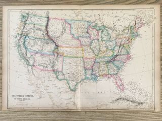
1859 United States Hand Coloured Antique Map By W. G. Blackie
-
![1840 Hall Map Republic Of Texas United States Wisconsin Iowa Nebraska Territory]()
1840 Hall Map Republic Of Texas United States Wisconsin Iowa Nebraska Territory
-
![18thc Antique 1761, Geographia Antiqua, World Atlas Book & 33 Maps, Nr]()
18thc Antique 1761, Geographia Antiqua, World Atlas Book & 33 Maps, Nr
-
![Joslin’s 1860 Terrestrial Globe, Vintage 9” Revolving World Globe, Antique Globe]()
Joslin’s 1860 Terrestrial Globe, Vintage 9” Revolving World Globe, Antique Globe
-
![Replogle 6 " - Lunar/moon Globe - Metal - 1969 - Apollo 2 And All Landing Sites/craters]()
Replogle 6 " - Lunar/moon Globe - Metal - 1969 - Apollo 2 And All Landing Sites/craters
-
![1848 Hall Map Stovepipe Texas United States Oregon Nebraska Iowa Wisconsin Terr]()
1848 Hall Map Stovepipe Texas United States Oregon Nebraska Iowa Wisconsin Terr
-
![Theodor De Bry " The Sea Coastes Of Portugal " The Mariners]()
Theodor De Bry " The Sea Coastes Of Portugal " The Mariners ' Mirrour
-
![Map York Brooklyn Geological Large Wall Size Metal 3d Rare Vintage 24 " X 34 "]()
Map York Brooklyn Geological Large Wall Size Metal 3d Rare Vintage 24 " X 34 "
-
![Miniature Atlas - Borough Of Brooklyn - Ebelcher Hyde 1912 Philip M. Stern]()
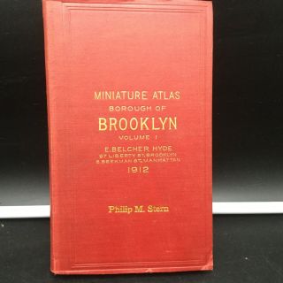
Miniature Atlas - Borough Of Brooklyn - Ebelcher Hyde 1912 Philip M. Stern
-
![Very Rare 1770 Carte Des Postes De France French Map Linen]()
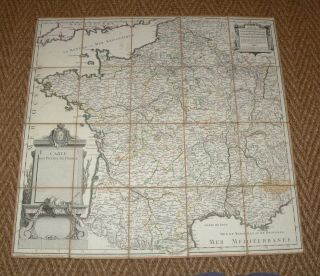
Very Rare 1770 Carte Des Postes De France French Map Linen
-
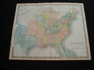
![Antique 1844 Mitchell’s National Map Of The American Republic United States]()
Antique 1844 Mitchell’s National Map Of The American Republic United States
-
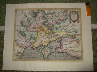
![1640s, Xl - S. Russia, Ukraine, Moscow, Kiev, Charkiv, Voronezh, Rostov, Poltava, Novgorod]()
1640s, Xl - S. Russia, Ukraine, Moscow, Kiev, Charkiv, Voronezh, Rostov, Poltava, Novgorod
-
![1580s, Xl - Przecopsca - S. Russia, Ukraine, Moscow, Kiev, Crimea, Rostov, Donetsk, Voronezh]()
1580s, Xl - Przecopsca - S. Russia, Ukraine, Moscow, Kiev, Crimea, Rostov, Donetsk, Voronezh
-
![1700s, Xl - Ukraine, Kiev/kyiv, Kharkiv, Odessa, Dnipro, Donetsk, Zaporizhia, Lviv, Crimea]()
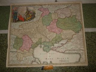
1700s, Xl - Ukraine, Kiev/kyiv, Kharkiv, Odessa, Dnipro, Donetsk, Zaporizhia, Lviv, Crimea
-
![1903 Orange County Ny Atlas - Maps Complete Full Color - Large Size - 116 Yr Old]()
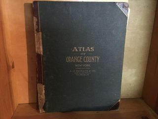
1903 Orange County Ny Atlas - Maps Complete Full Color - Large Size - 116 Yr Old
-
![1770, L - Plan, Moscow, Москва́, Russia, Red Square, Kremlin, Moskau, Moscovia, Moscou]()
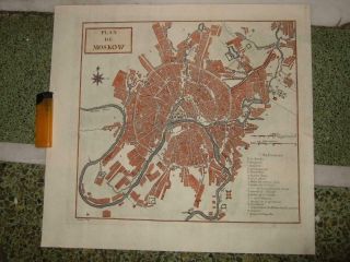
1770, L - Plan, Moscow, Москва́, Russia, Red Square, Kremlin, Moskau, Moscovia, Moscou
-
![1718, L - Gen. Map Czar, Russia, Moscow, St. Petersburg, Samara, Omsk, Kazan, Ufa, Volgograd]()
1718, L - Gen. Map Czar, Russia, Moscow, St. Petersburg, Samara, Omsk, Kazan, Ufa, Volgograd
-
![Vintage Circa 1860]()
Vintage Circa 1860 ' S Washington - Idaho Territory Map Old Antique B
-
![1596, Russia Empire, Moscow, Voronezh, Kazan, Samara, Rostov, Novgorod, Astrakhan, Perm]()
1596, Russia Empire, Moscow, Voronezh, Kazan, Samara, Rostov, Novgorod, Astrakhan, Perm
-
![1660sxl - Russia, Empire, Moscow, Novgorod, Kazan, Samara, Volgograd, Saratov, Rostov, Perm]()
1660sxl - Russia, Empire, Moscow, Novgorod, Kazan, Samara, Volgograd, Saratov, Rostov, Perm
-
![Vintage Philadelphia Atlas. Wards 23rd & 41st G. W. Bromley & Co. Disston Area]()
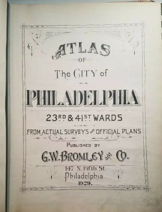
Vintage Philadelphia Atlas. Wards 23rd & 41st G. W. Bromley & Co. Disston Area
-
![American Continent California As Island 1790 Seutter/probst Unusual Antique Map]()
American Continent California As Island 1790 Seutter/probst Unusual Antique Map
-
![1936 Chinese Pictorial Map Of Peking By Frank Dorn Vintage Map]()
1936 Chinese Pictorial Map Of Peking By Frank Dorn Vintage Map
-
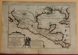
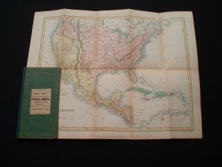
![Antique Map Of Guatemala Or United States Of Central America]()
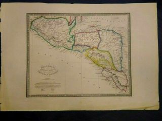
Antique Map Of Guatemala Or United States Of Central America
-
![Woolworth Colton]()
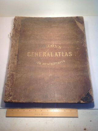
Woolworth Colton ' S 1858 General Atlas With Descriptions Complete
-
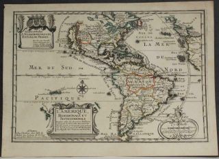
![Rare Map Of North America 1809 In Vg]()
Rare Map Of North America 1809 In Vg
© 2022, avaluer.net, Inc. or its affiliates